Katy city leaders receive update on comprehensive plan
Katy city leaders received an update on the city’s ongoing efforts to update its comprehensive plan that it plans to officially unveil next spring.
This item is available in full to subscribers.
Attention subscribers
To continue reading, you will need to either log in to your subscriber account, or purchase a new subscription.
If you are a current print subscriber, you can set up a free website account and connect your subscription to it by clicking here.
If you are a digital subscriber with an active, online-only subscription then you already have an account here. Just reset your password if you've not yet logged in to your account on this new site.
Otherwise, click here to view your options for subscribing.
Please log in to continue |
Katy city leaders receive update on comprehensive plan
Katy city leaders received an update on the city’s ongoing efforts to update its comprehensive plan that it plans to officially unveil next spring.
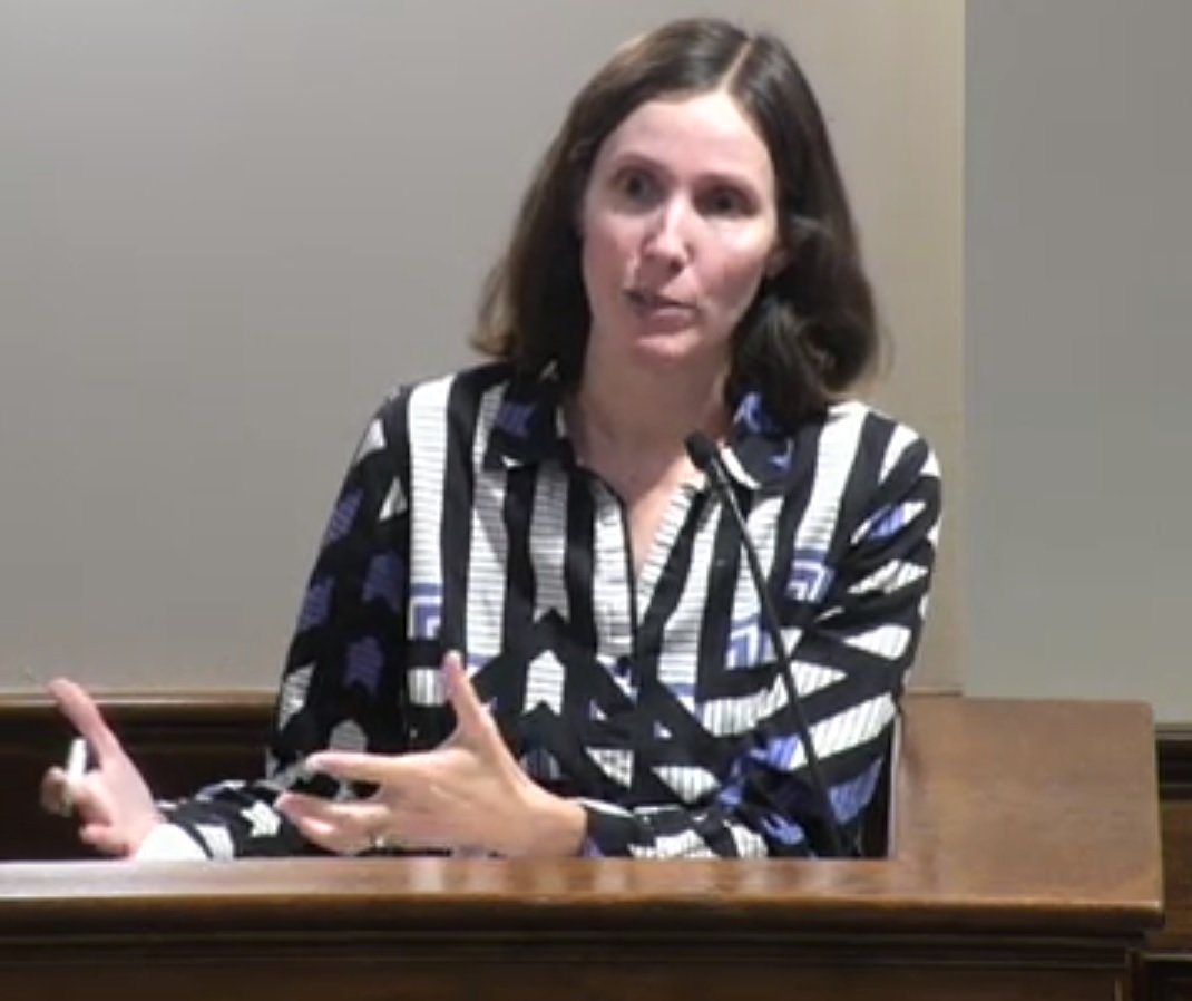
Meredith Dang, a community planning practice leader with Kendig Keast Collaborative, gave a presentation on the city’s plan and the information to be used in developing it, at a May 24 special council meeting at City Hall. The city is working with Kendig Keast Collaborative, an urban planning consultancy, to update the plan.
Dang said the city has had a 41% average growth by decade since 1990. According to the U.S. Census, the City of Katy had a population of 21,894 in 2020. In 1950, when the U.S. Census first reported Katy city figures, Katy had a population 894. The city was incorporated in 1945.
The growth just within the city is one thing, but Dang said that many people look at the greater Katy area, and not just what is within the city limits. In a draft report accompanying her presentation, the greater Katy area’s population of about 375,000 people would rank ahead of Corpus Christi and Plano among Texas cities. Nationally, it would be larger than Cincinnati and Pittsburgh.
The population, at least within the city, tends to be older. Dang said 13.1% of residents are 65 years of age or older, according to the 2020 Census. The median age is 39.5 years of age. This is a higher median age than the comparison communities, she said.
“There is no good or bad to these, but something to know,” Dang said.
The comparison communities are Alvin (32.2), Dickinson (38.6), Friendswood (38.9), Lake Jackson (33.6) and Tomball (36.9). The metro Houston area (34.5) and the state overall (34.8) were also listed in the comparison.
More people bring more traffic. The Texas Department of Transportation collects data on the Annual Average Daily Traffic, known as AADT, of select roadways. The most recent data is from 2020. The report said the numbers may not be reflective of the most current local conditions, they provide a sense of the area roadways that carry the highest traffic.
The report said that in addition to I-10 and its I-10 feeder roads, the roadways in the city limits experiencing the highest AADT included:
- Katy-Fort Bend Road, just north of I-10, with a 2016 AADT of 23,753. Just south of Franz Road, the 2016 AADT was 17,439.
- FM 1463, south of Kingsland Boulevard, with a 2020 AADT of 17,893 (and a 2019 AADT of 23,500). Just north of I-10, the 2016 AADT was 15,029.
- Pin Oak Road, just north of I-10, with a 2016 AADT of 15,075.
- Kingsland Boulevard, just east of Katy-Fort Bend Road, with a 2020 AADT of 13,247.
In 2021, Dang said, the Texas Department of Transportation’s Crash Records Identification System recorded 1,058 wrecks inside the Katy city limits. She provided a heat map showing where most of those wrecks have occurred. They are:
- Katy-Fort Bend Road.
- U.S. 90.
- Pin Oak Road south of I-10.
- The intersection of Katy Hockley Cutoff Road and Clay Road.
- The intersection of Katy land Drive and 5th Street.
Dang said the Katy Police Department said it spends significant amount of time and resources responding to such wrecks.
More roads should help. Dang said the Texas Department of Transportation plans to invest approximately $533 million on U.S. 90 and I-10 in coming years.
The city is continuing to get public feedback on its plan.
Keywords
City of Katy, Katy City Council, strategic plan


